NatusAI
Demo on request
Situational awareness
Global situational awareness
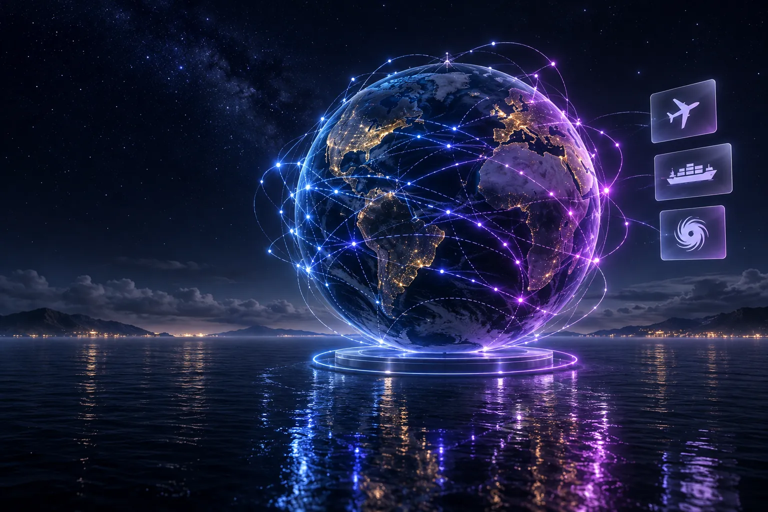
An explorable 3D globe with live flight, shipping, satellite, seismic and weather signals in one view.
View use case
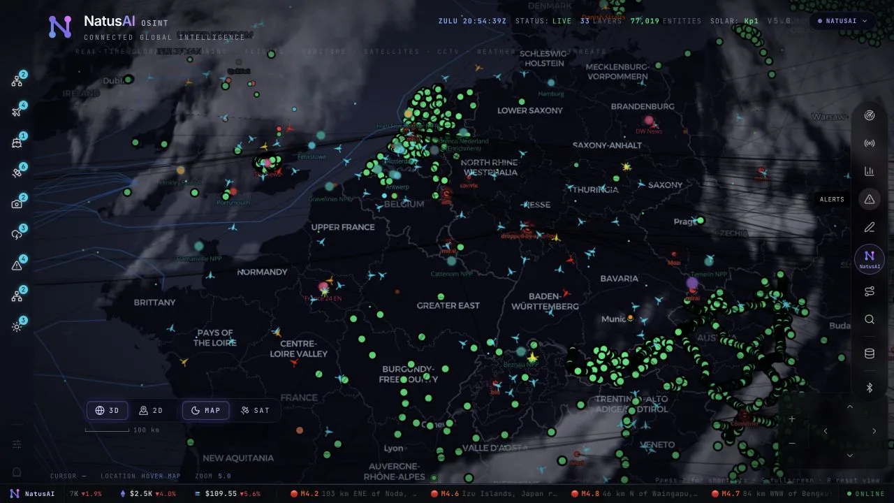
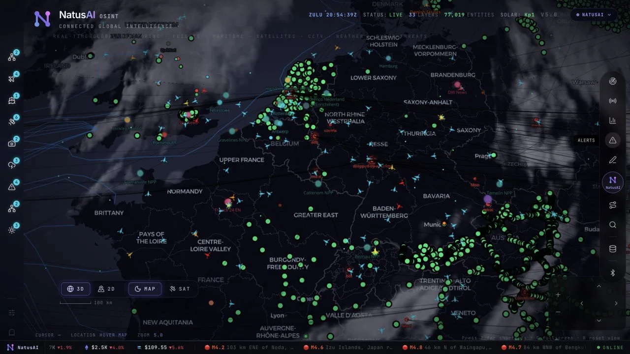
Aviation, shipping, satellites, hazards, infrastructure, news and cyber signals on one 2D map and 3D globe. Analysts follow each signal to its source and corroborate it before they brief.
Open-source intelligence turns publicly available information into context for a question. The work is moving from a marker on a map to a question you can check: what happened, where did the information come from, and does another source support it?
Start with a place or a question, then move from the broad view to the places, events and connections worth investigating.
Choose
Switch layers on or off, and move between the 2D map and the 3D globe to see how observations relate to terrain and nearby places.
Inspect
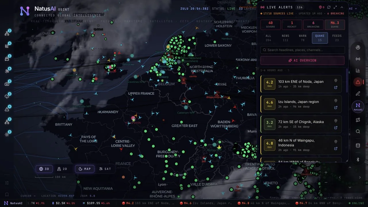
Open a map item to see its details and source context, alongside a running event feed, location summaries and connections between entities.
Brief
Check important details against the original sources, then explain what is known and what remains uncertain.

For heads of security, risk or intelligence, the value is a repeatable way to go from public signals to a sourced brief.
One picture of public signals. Layers that usually sit in separate tools appear together on one map and globe.
Every claim traceable. Each observation keeps its source and timestamp, so analysts can show where it came from and whether another source supports it.
Assistance, with review. Assist moves the map and finds activity on request. Forecast explores simulated scenarios, with sources and assumptions shown for analyst review.
The public demo is not mapped to a NatusAI product.
What you can use today: the public demo. An internal deployment for your organisation would be scoped as a delivery engagement led by our team.
Status: a public demo. No client deployment and no measured result is claimed.
Open the demo over a place you know. Start with a few layers, such as an aircraft route, maritime activity, a weather event or a public alert, and follow each one to its source.
Assist and Forecast use your own AI provider API key. Your provider may charge for the requests you make.
Demo on request
Situational awareness
An explorable 3D globe with live flight, shipping, satellite, seismic and weather signals in one view.
Reference scenario
Earth observation & logistics
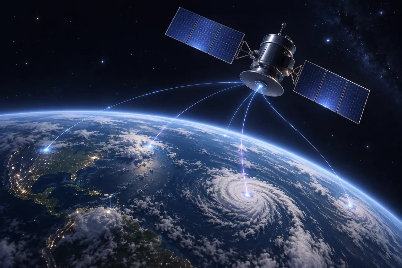
Correlate satellite and weather data to plan logistics and infrastructure with more warning.

Capability pattern
Audit, risk & operations
Reconstruct exactly what was true, and what was known, at any past moment.
Only for the AI features. Assist and Forecast use your own AI provider API key, and your provider may charge for the requests you make.
Each observation keeps its source and timestamp. Analysts open a map item to see its source context, then check important details against the original sources before they brief.
No. Forecast explores simulated scenarios with their sources and assumptions shown. The results depend on that evidence and need analyst review.
Tell us which regions, assets or risks your team monitors. We will show how a sourced, reviewable workflow would look in your environment.
Or write to contact@natusai.com