
01
Large data volumes
Help teams work with satellite information without losing the question behind the analysis.
SATELLITE & WEATHER INTELLIGENCE
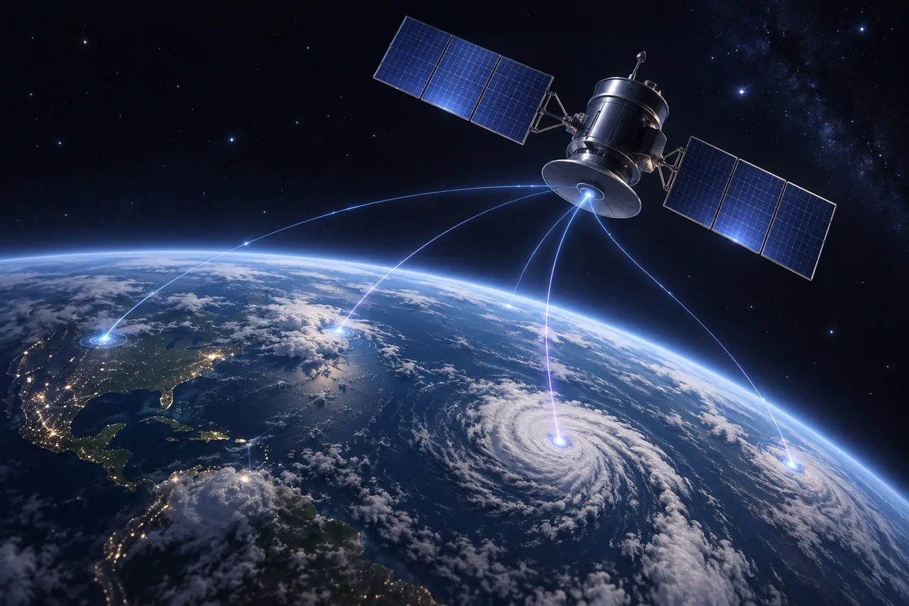
Connect large-scale satellite signals and weather data so teams can explore patterns across places, time and operational questions.
THE CHALLENGE
Help teams work with satellite information without losing the question behind the analysis.
Put weather conditions alongside other signals that shape an operational decision.
Move from broad patterns to the places and periods that matter to the work.
CORRELATED INTELLIGENCE
NatusAI can correlate satellite and weather data across a large area, then present the relationships in a workspace people can inspect. The result supports planning and review rather than automatic decisions.
Bring signals from different sources into a consistent analytical context.
Explore how weather and satellite patterns relate across time and place.
Give teams a clearer basis for logistics, infrastructure and resource decisions.
BUILD YOUR NEXT CHAPTER
Start with one planning question and the places it affects.